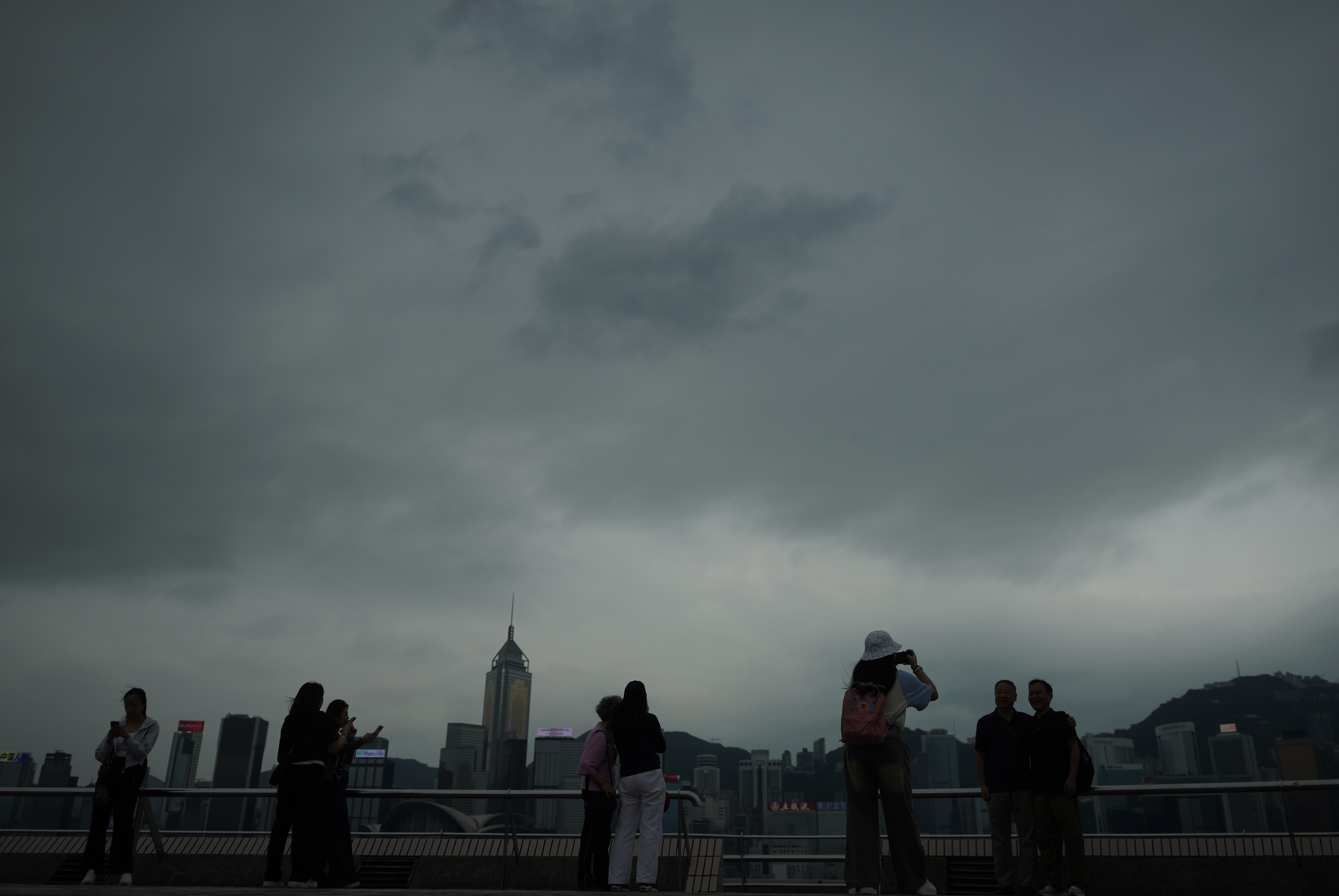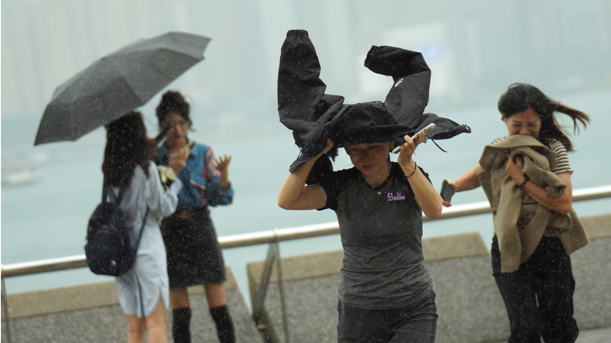
HONG KONG – The Hong Kong Observatory issued the typhoon signal No 8 late on Wednesday night as Tropical Cyclone Toraji moved closer to the city.
The HKO raised the Gale or Storm Signal No. 8 warning, which means that gale force winds with mean speeds of 63 to 117 kilometers per hour were expected, at 11:10 pm and said that it will remain in force at least until 10 am Thursday. The observatory had raised the T3 typhoon warning earlier on Wednesday afternoon.
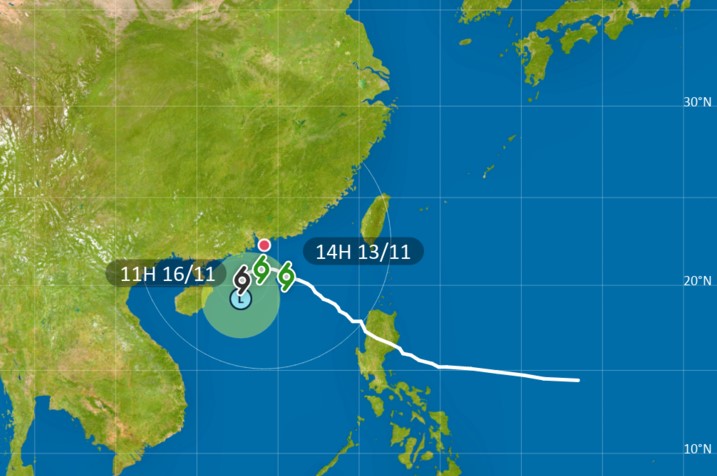
According to the latest forecast, Toraji will be closest to the Pearl River Estuary on Thursday morning, skirting around 150 kilometers south of Hong Kong.
The observatory said Toraji was expected to weaken and move away from the city afterwards and local winds will moderate gradually during the day.
Depending on the tropical storm's movement and the weakening trend of local winds, the observatory said it will assess the time for lowering the typhoon signal back to T3 later tomorrow.
Classes suspended
The Education Bureau said classes in all morning and whole-day schools, including secondary and primary schools, schools for children with physical and intellectual disabilities, kindergartens, and kindergartens-cum-child care centers, will be suspended on Thursday.
The schooling arrangement for PM and evening schools will be announced tomorrow, it added.
The Home Affairs Department opened 27 temporary shelters in Hong Kong Island, Kowloon, the New Territories and the Islands District while the Hong Kong International Airport advised passengers to confirm their flights with their airlines or check the HKIA website for the latest flight information before heading to the airport.

Packing maximum sustained winds reaching 85 kilometers per hour near its center, Toraji was spotted about 170 kilometers south-southeast of Hong Kong at 11 pm Wednesday and was forecast to move west or west-northwest slowly, edging closer to the vicinity of the Pearl River Estuary.
ALSO READ: HK to raise T1 on Monday night as new typhoon approaches
Between 10:15 pm and 11:15 pm, the maximum sustained winds recorded at Tate's Cairn reached 72 kph with maximum gust exceeding 92 kph, the HKO added.

Warning that seas are rough with swells, the observatory advised people to stay away from the shoreline and not to engage in water sports. Under the combined effect of Toraji and the northeast monsoon, it will be windy with squally showers over the coast of Guangdong tomorrow.
ALSO READ: HKO issues T3 signal as Super Typhoon Yinxing nears
“Make sure objects likely to be blown away are securely fastened or taken indoors,” said the observatory.


