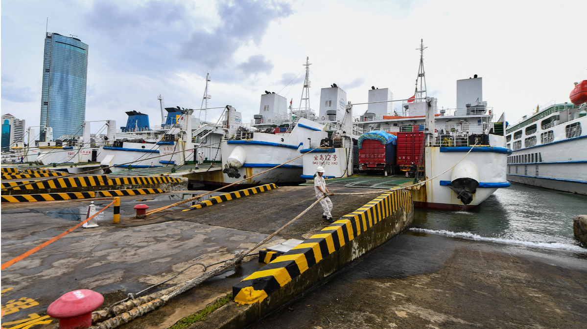
BEIJING - Chinese authorities have stepped up precautionary measures against Typhoon Kong-rey, with strong winds, heavy rain and flood risks forecast in coastal regions.
The Ministry of Water Resources held a special consultation meeting on Friday to analyze and assess the impact of Typhoon Kong-rey and further deploy flood-control measures for small and medium-sized rivers, flash floods and urban waterlogging.
The ministry maintained a Level-IV emergency response to flooding in the provincial-level regions of Shanghai, Jiangsu, Zhejiang and Fujian as Typhoon Kong-rey approaches.
READ MORE: Typhoon Kong-rey makes landfall in southeastern Taiwan
The ministry has sent two work teams to provide on-site assistance and guidance for flood-control efforts.
The National Meteorological Center (NMC) renewed a blue alert for Kong-rey on Friday evening, forecasting strong gales in coastal regions, including Zhejiang, Shanghai, Jiangsu and Taiwan, from Friday evening through Saturday.
Typhoon Kong-rey made landfall in southeastern Taiwan's Taitung at around 1:40 pm Thursday, according to the local meteorological agency.
The typhoon reached the northwestern part of the East China Sea about 25 km south of Zhujiajian Island in Zhejiang province, and was forecast to move east and then north at an estimated speed of 45 km per hour, the NMC said.
READ MORE: Tropical cyclone Kong-rey intensifies into 'super typhoon'
China has a four-tier emergency response system, with Level I being the most severe response, and a four-tier color-coded weather warning system, with red representing the most severe, followed by orange, yellow and blue.


